How do you make the best public transportation system possible?
Transportation planners use mobile positioning data (MPD) as a source of complete and structured information on population movements. Mobile positioning data provides:
- information on movements structured according to the estimated trip purpose as MPD shows the aggregated locations of homes, working time locations and all other regularly visited locations, their visit order and visit times;
- population movement data showing hourly, daily, weekly and seasonal patterns, thus supporting the creation of timetables in accordance with real travel demand;
- the most up-to-date, with the largest sample and historical data.
Have you noticed that relying on registry, survey or even ticketing data for transportation planning is difficult? There are several reasons for this:
- registries always contain some outdated and/or false information about where people live and work (e.g. registered place of residence is different from actual place of residence);
- registry data never shows if or how often people are actually moving between their home and work. This is especially relevant in a pandemic or disaster management context;
- registries do not usually contain any other information on places that people visit for purposes other than residing and working;
- surveys are costly and time consuming to carry out and are thus not repeated frequently;
- for a large number of transport zones, surveys have too limited a sample for retrieving reliable origin-destination information;
- ticketing data only contains information on the current public transportation users, leaving out potential users.
With MPD, you can have complete information on the locations and movements of the population in your city or region, with data privacy protected by design. This facilitates planning in a way that helps most people get to where they want to go on time. This approach can help reduce the need for private vehicles and ultimately cut emissions and other negative impacts of transportation. By upgrading your transportation strategy with the best source of mobility data, you, too, can build a more sustainable urban environment.
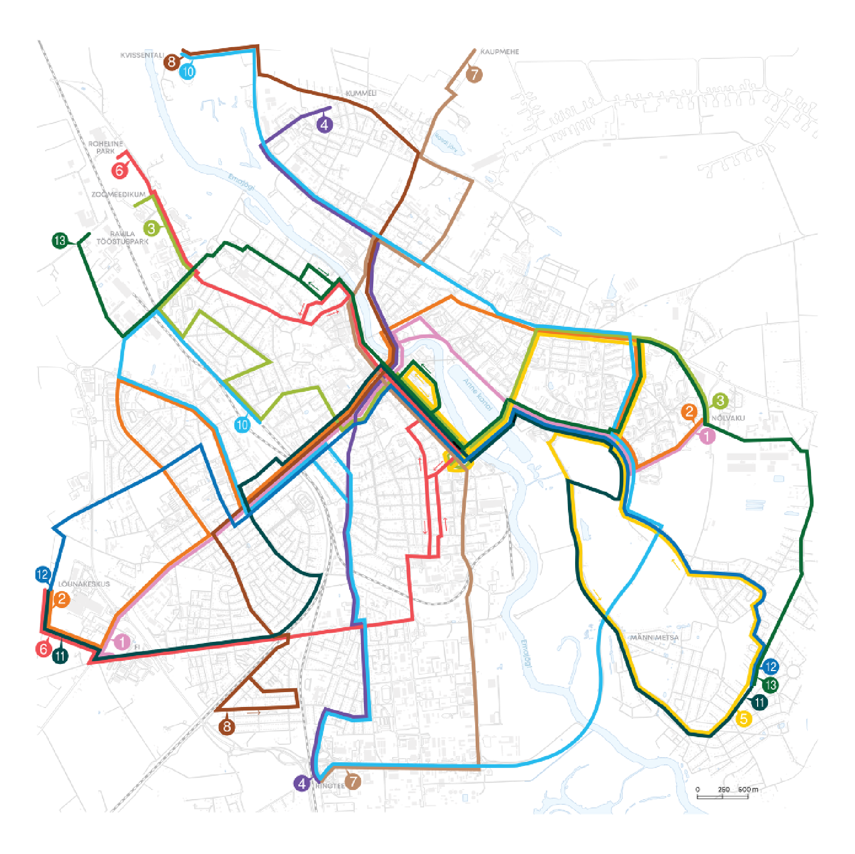
Mobile phone data enabled Tartu to create a demand-based bus route network by seeing where and when people commute on a daily basis.- Raimond Tamm, Deputy Mayor of Tartu
.png)
